| OTHERS SURVEY & INSPECTION : | |
| Maps | |
|
|
| EARTHLINE | |
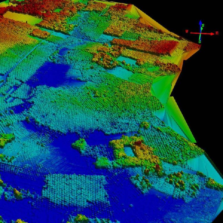
| Maps can be generated from imagery and field surveys. EarthLine offers a variety of maps including soil, topography, road and Stand Per Hectare (SPH) maps, specifically used in agriculture or mining. | |